The Forncetts
The Forncetts
At the time of Christ, Norfolk was home to a British Celtic tribe called the Iceni and following the Roman invasion of AD 43 the Iceni lived alongside the Romans, retaining their own laws and a degree of independence. Many archaeological finds in Forncett confirm the presence of both the Iceni and the Romans in the parish. In 1997, a major find of Iceni and Roman coins (known as the Forncett Hoard) provided direct evidence for this. Some aspects of the history of the parish are documented on the Village Sign (below).

Forncett was described in the Domesday Book of 1086, which refers to four settlements; Fornesseta, Kekelingtuna, Tuanatuna and Middletuna. Fornesseta can be recognised as Forncett St. Mary, Tuanatuna and Middletuna occupied the land now known as Forncett St. Peter, and Kekelingtuna lay in the west of the parish, now known as Forncett End.
The development of the manor of Forncett between 1086 and 1565 was documented in a most remarkable way by a young American scholar, Frances Gardiner Davenport, in the late 19th century. Davenport studied the extensive manorial records of Forncett for her Ph.D. studies and subsequently published her findings in 1906 in a book "The Economic Development of a Norfolk Manor, 1086-1565" which has become recognised as a classic study in economic history.
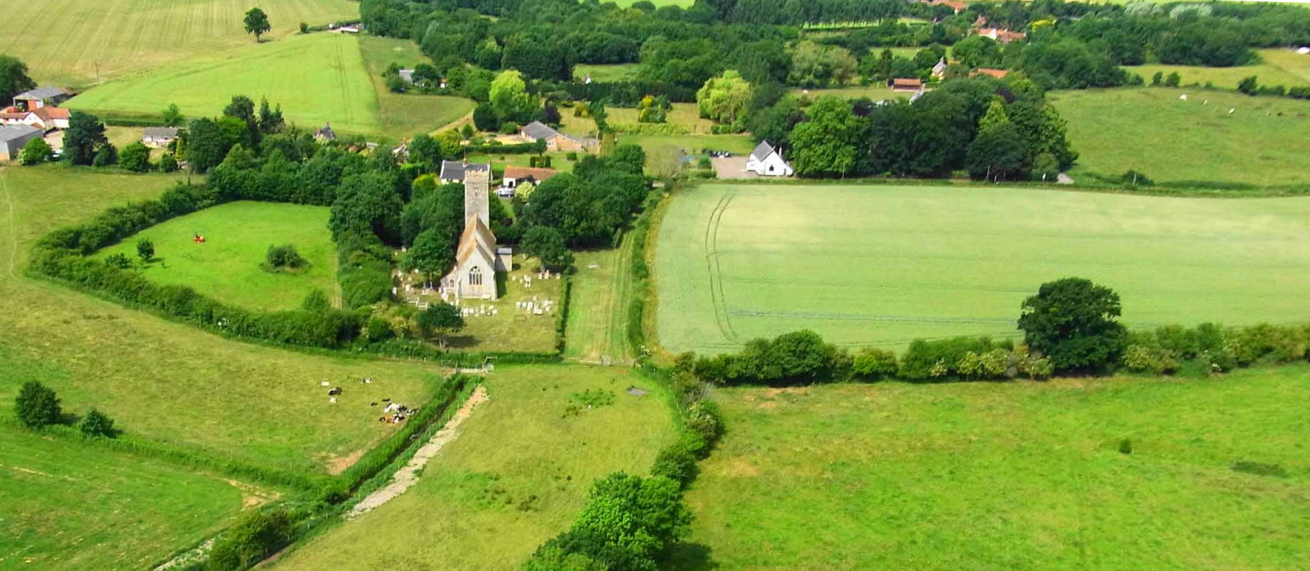
As early as the 13th Century the name Forncett was applied to the whole area, and Forncett St. Peter appears to have been the "centre" of the parish. The Saxon church of St. Peter's was built in around 1000 AD, with St. Mary's church founded later, in the 13th or 14th Century.
Forncett St. Mary occupies the north-east part of the present parish. It is bounded to the north by Hapton Common, to the east by the river Tas and to the west by what was then known as Deepmore Beck. The boundary with Forncett St. Peter to the south is not determined by any natural feature and may have been defined much later.
Forncett St. Peter occupies the rest of the parish. It was bounded in the south-west by Bunwell Beck and in the south and east by lanes (called Processional Way and Stubbing Lane) that now exist only as footpaths. At the western extremity was the extensive Forncett Common which lay either side of what is now Common Road. A significant and discrete community developed in the west of the parish and by the time that Faden's Map of Norfolk was published, in 1797, we find the term "Forncett End" being used for this settlement. The settlement of Bustards Green, in the east of the parish, is also shown on Faden's map. The layout of roads within the parish is essentially unchanged today from that shown in Faden's map. In short, the major features of our parish have apparently changed very little for many centuries!
The growth and development of the Forncetts from the end of the 18th C to the present day can be seen in the maps below (click on images to enlarge). By 1939 the parish had a total of 205 dwellings with a population of 723 individuals, and after the war Forncett continued to grow steadily with the majority of the new development concentrated in Forncett End.
Picture postcards of Forncett
The development of photography in the late 19th century allowed the production of the picture postcard which became a cheap and popular means of communication between the late 1890s and the First World War. Almost every village was documented with postcards printed to order by well- known postcard manufacturers. They were often sold in a local store or Post Office, and inscribed with the name of the outlet, thereby providing useful advertising. In the case of Forncett, series of cards were produced both by Fox's stores in Forncett End and by English's stores in Forncett St. Peter. The images below show some of these postcards (click on image to expand). If you have any that are not shown here (originals or copies) we would be very interested to hear from you.
Forncett End
Forncett St. Mary
Forncett St. Peter

